Geographic Information Systems Basics Laboratory The laboratory aims to train students to use the ArcMap GIS program in analyzing digital images received by satellites, their types, and how to deal with them, classify them, and graduate them.

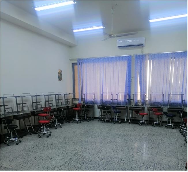
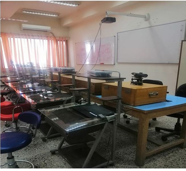
Aerial photography laboratory The aerial photography laboratory aims to introduce the student to the principles of aerial photogrammetry, as it has a close relationship with the science of remote sensing, through learning about the types of images and cameras.

Computer lab This laboratory aims to obtain knowledge and scientific facts in the field of computers and information technology related to the student’s life, and for the student to acquire creative mental abilities and help him develop his abilities in solving dilemmas. This laboratory is concerned with teaching students.

Seismic monitoring and spatial data analysis laboratory for graduate studies Analysis is concerned with monitoring seismic activities and analyzing data related to earthquakes, which are collected from seismic monitoring stations distributed in a number of governorates. Spatial data is also analyzed through satellite images and provides insights and forecasts of what will happen later.

