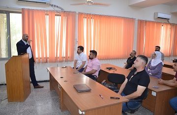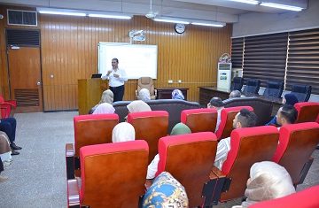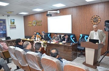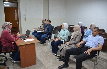
The College of Science, Department of Earth Science at the University of Baghdad, recently presented a lecture on the Geomorphological Analysis of Data Using Digital Elevation Models.
This lecture provided a comprehensive overview of the methodologies and analytical techniques used in geomorphological studies using Geographic Information Systems (GIS). It highlighted the critical role of digital elevation models (DEMs) in identifying and analysing topographic features within selected study areas.
Additionally, the lecturer emphasised the importance of these methodologies in clarifying various terrain attributes, such as in classifying slope gradients and orientations and distinguishing between concave and convex landforms. The goal was to maximise the use of accompanying digital applications within GIS software for improving and enhancing the accuracy of results in geomorphological studies based on DEM data.