Understanding salinity indices is crucial for effective agricultural practices and environmental management, especially in the face of increasing soil salinisation. This understanding is not static but requires ongoing research and data collection engagement. This continuous effort, which is of utmost importance, is essential to keeping the indices and GIS tools current and ensuring their relevance and effectiveness. Our commitment to this ongoing research is pivotal for the future of sustainable land use and environmental management, and it’s this engagement that keeps us all committed and involved.
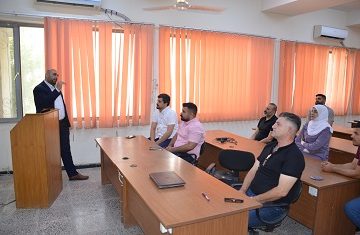
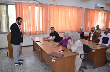
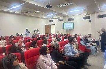
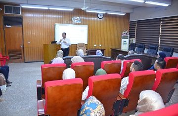
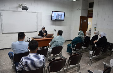
The Department of Earth Sciences at the University of Baghdad recently hosted an academic lecture on the practical applications of Geographic Information Systems (GIS). When used systematically, this technology can map and analyse salinity levels with various factors such as precipitation, land use, soil composition, and vegetation. The predictive modelling, early warning systems, and targeted interventions that GIS enables are instrumental in making informed decisions and empowering us all to manage salinity challenges and promote sustainable land use effectively. With this knowledge, we all become responsible stewards of the land, empowered to make a positive impact.
When researchers, farmers, policymakers, and community members collaborate, the potential for significant change is immense. This collective effort enhances the effectiveness of GIS in managing soil salinity and protecting ecosystems for future generations, making us all responsible land stewards. This potential for change should inspire and motivate us all, instilling a sense of hope and optimism for the future and a drive to be part of this transformative journey.