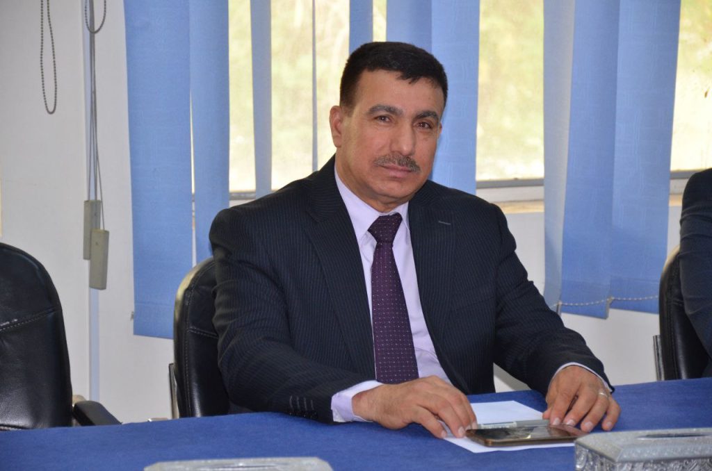
A welcome message from the Head of the Remote Sensing and GIS Department
The human desire to study the Earth’s surface features has not been limited to the knowledge gained from surveys and maps. Instead, it has evolved and expanded to include the use of aerial and satellite imagery data. Cameras and sensors are among the most important materials used in the study of Earth’s surface resources, hence the importance of remote sensing. This science is defined as the collection of information and data about specific objects or phenomena without direct physical contact with those objects. This is achieved by performing a series of measurements using electromagnetic radiation sensors to record environmental spectra, which can be interpreted and analyzed to produce useful information and yield meaningful results.
The study and classification of Earth’s surface features are the fundamental keys to interpreting remote sensing data, as these features can be used to define homogeneous units of the Earth’s surface that are interconnected with geological, engineering, and agricultural structures, soil quality, and plant life. These spectrally and spatially homogeneous units are suitable for selecting samples for field testing based on specific elements that are appropriate for the required research purposes. Their results can be used to predict the characteristics of other similar, unstudied areas using spectral and spatial comparison methods. Remote sensing technologies provide significant support for many applications in the investment plan projects we hope to implement in our beloved country (Iraq). This is achieved by studying and analyzing satellite images captured across a series of these images, including the preparation and implementation of a database of objective maps for the distribution of land uses, the variations in the Earth’s surface features, and its natural geological and engineering resources, which have contributed to the formation and distribution of its natural and mineral resources throughout Iraq.
As a result of growing interest in remote sensing, many countries around the world, including France, Russia, India, Japan, the United States, and others, have adopted satellite launch programs that provide accurate information and data on natural resources. The sensors carried onboard satellites can measure the amount of radiation reflected from soil, rocks, and plants. Therefore, we need to focus on this type of study and its application to keep pace with global scientific advancements in this field.
Remote sensing applications can be exploited to facilitate and accelerate many tasks that require significant effort using traditional methods, including, but not limited to: predicting water levels in Iraqi rivers, estimating groundwater quantities, Assisting in identifying the locations of specific archaeological sites, ores, and natural resources within the Earth; predicting weather and climate conditions and exploiting them to improve agricultural yields and quantities; monitoring the growth of field crops and predicting the resulting yield; producing high-resolution and topographic maps covering the entire Iraqi territory; assisting in urban and town planning, and constructing highways, power lines, and railways. This can be achieved by providing satellite images and data regularly. The Department of Remote Sensing and Geographic Information Systems, a department within the College of Science at the University of Baghdad, was established in 2015. It is the only department responsible for preparing and training primary cadres in the fields of remote sensing, image processing, and analysis, as well as geoinformatics. The idea for its establishment came in response to the strong desire and urgent need for this type of specialization to support the labor market. This department combines the disciplines of earth sciences, physics, computer science, agriculture, civil engineering, and surveying engineering, in addition to concepts in remote sensing, digital image processing, and analysis. A master’s degree program was established in the department in the 2021-2022 academic year. To provide graduate programs that enable graduates to continue their education and develop their research skills, the department aims to introduce a doctoral program, given its elite faculty members specializing in remote sensing. This ensures high-quality education and ongoing guidance.
The ultimate goal we all strive for is to provide a scientific environment and achieve high-quality educational outcomes in the field of remote sensing and geographic information systems (GIS). Focusing on the practical aspect, this in turn leads to the preparation of qualified personnel suited to the needs of various sectors in the Iraqi labor market. We also aim to prepare students appropriately, qualifying them to continue graduate studies and scientific research, and supporting graduate programs to obtain master’s and doctoral degrees.
In conclusion, I would like to extend my sincere thanks to the department’s faculty members for their efforts and dedication in fulfilling the department’s mission, and I ask God Almighty for success and prosperity for all.
Welcome to the Department of Remote Sensing and Geographic Information Systems.
Prof. Dr. Faleh Hassan Mahmoud
Head of Department
1- A.M.D. Faleh Hassan Mahmoud (2015-2016)
2- Prof. Dr. Harith Ibrahim Jaafar (2016-2018)
3- A.M.D. Sondos Abdel Abbas Abdullah (2018-2021)
4- A.M.D. Uday Hatem Shaaban (2021-2025)
5- Prof. Dr. Faleh Hassan Mahmoud ( 2025 – present)


