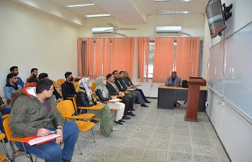
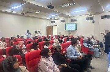
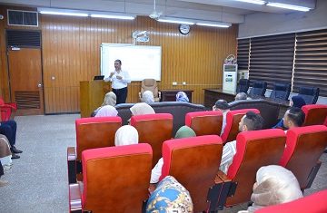
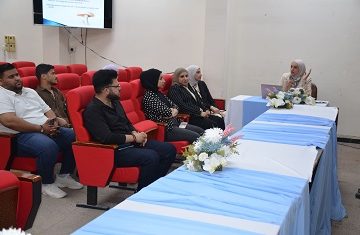
A panel discussion at the College of Science on the latest developments in satellite images and their interpretation
The seminar aimed at exchanging knowledge and science and informing participants of the most important modern technologies in the field of interpretation and analysis of satellite images and keeping pace with their global developments, which include the basic principles for interpreting these images and their most important applications that depend on visual interpretation, traditional analysis, automated interpretation and classification, the most important scientific terms, and how to perform geographical correction of images the satellites.
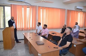
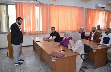
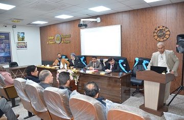
A master’s thesis is discussed in College of science, University of Baghdad, about the biostratigraphy and depositional environmental of Yamama formation in Faihaa oil field southern Iraq
In the College of science, University of Baghdad, a master’s thesis was discussed, tagged “Biostratigraphy and Depositional Environmental of Yamama Formation in Faihaa Oil Field Southern Iraq” by the research student Maryam Mohammad Taha and presented to the Geology Department under the supervision by Dr. Salam I.
No comment