Continuing learning at the college of Science holds a seminar on the geometric corrections of space images
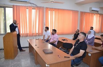
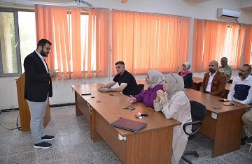
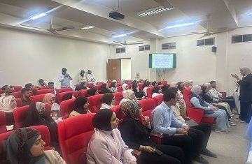
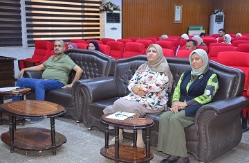
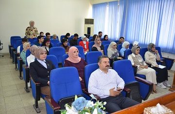
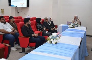
Continuing learning Unit at the college of Science, University of Baghdad, in cooperation with the Industrial Research and Development Body, organized a seminar entitled “geometric corrections of satellite images” in the presence of a number of researchers, teachers, undergraduate and postgraduate students and others who concerned with geometry and space.The seminar aims to identify the most important uses of modern scientific technologies to make geometric corrections of space images.
The seminar focused on the communication between experts and researchers in the exchange of experiences on the latest geometry technologies in the field of remote sensing, including techniques, roads, ground observation platforms, support technologies, GPS, GIS and data analysis methods. Also monitoring the Earth in the region and the world in the short, medium and long term.
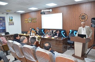
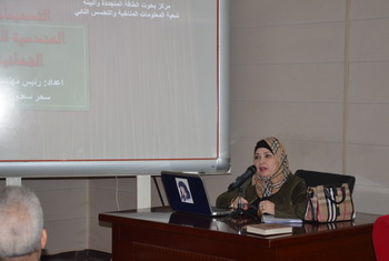
The lecture, which was given by assistant professor Dr. Ali Hassan Khader, lecturer in the Physics Department at the college of Science, University of Baghdad, and the Senior Engineer (Sahar Saadoun Abdullah) affiliated with the Ministry of Industry and Minerals, discussed a number of different topics in the field of space satellites to monitor the earth Sensors, geometric corrections for satellite images.
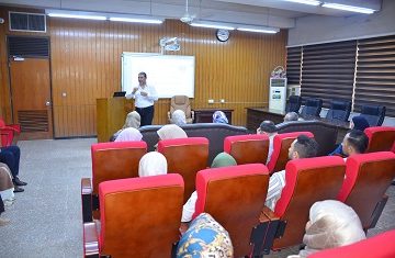
The seminar included the identification of geometric corrections of images, archiving, storage and distribution, geographical coverage, exploration and image exploration techniques, intelligent systems, surface forms production, methods and techniques of geo-systems analysis, mining data.