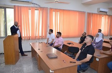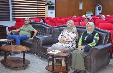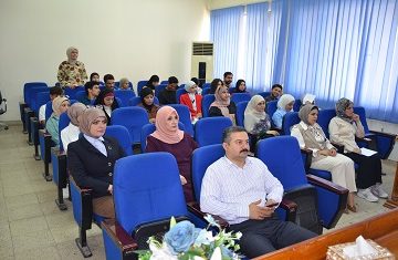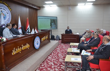
The Department of Construction and Projects of the Ministry of Higher Education and Scientific Research with the support and hosting of the College of Science, University of Baghdad, sponsored by the National Security Advisory, organized a pre-emptive workshop for the 5th International Conference on Geospatial Technologies and Smart Cities entitled “The Development of Spatial Information Systems and Smart Cities within The Academic and Research Process” in the presence of the representative of the Deanship of the College of Science, Professor Adi Hatem Shaaban, Assistant Dean of the College for Student Affairs, Dean of the Center for Urban and Regional Planning and representative of the National Security Adviser and a major academic and official gathering.
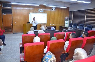
The purpose of the workshop was to highlight the importance of GIS in supporting decision-making and to strengthen the role of geospatial technology in developing adequacy of work to develop the societal reality of the population and adopt smart software in constructing buildings towards global ranks.
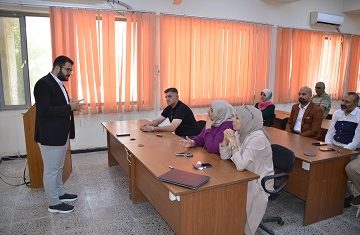
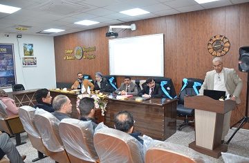
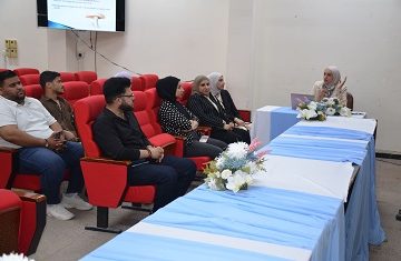
The workshop included several sessions of its first session, chaired by Professor Faleh Hassan Mahmoud. The first lecture was given by Dr. Adi Hatem Shaaban, and other lectures were attended by lecturers from all Iraqi universities. They dealt with the achievements of the Department of Remote Sensing and GIS in the College of Science in addition to the achievements of the Northern Technical University in the Iraq Geographical Portal Project and a report on the stages of the completion of bilateral and three-dimensional maps for Baghdad universities and the achievements of AL-Israa and AL-Furat Al-Awsat universities.
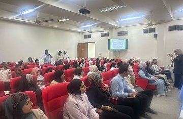
The lectures in the workshop called for sustainable development, carbon reduction, and adequate resource management, as well as a review of the latest technologies such as the Internet of Things and artificial intelligence in improving city management and promoting communication between citizens and services.