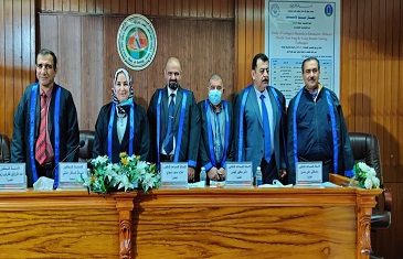
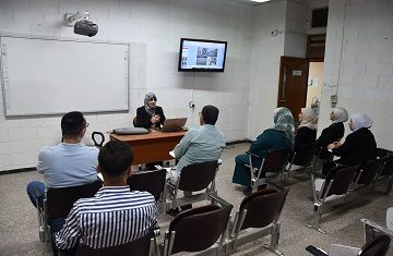
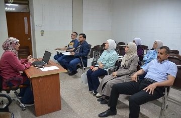
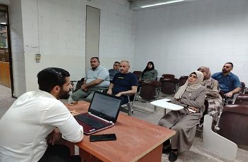
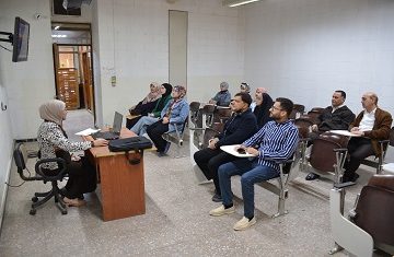
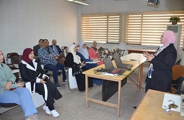
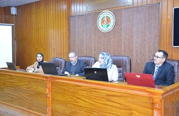
Discussion of a PhD thesis in College of science, University of Baghdad, about the study of earthquake and flood hazards of Khanaqin-Abbasan NE Iraq using remote sensing and GIS techniques
In the College of science, University of Baghdad, a PhD thesis was discussed, tagged “Study of Earthquake and Flood Hazards of Khanaqin-Abbasan NE Iraq Using Remote Sensing and GIS Techniques” by the research student Ammar Abd Jasim and presented to the Geology Department under the supervision by Dr. Mustafa Ali Hassan.

